Speakers: Andria Rosado

Data Manager at Coastal Zone Management Authority & Institute

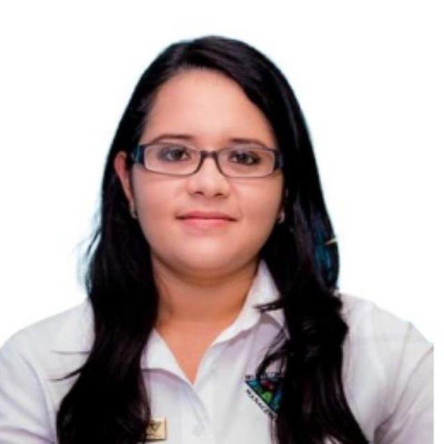
Picture of Andria Rosado

About

Andria Rosado is the GIS/Data Manager at Coastal Zone Management Authority and Institute (CZMAI), a quasi- governmental coordinating agency in Belize. At CZMAI, she oversees the Data Management Program and the Coastal & Marine Data Center which shares data to academia, government and non-government and the public. CZMAI recently lead the project, Artificial Intelligence (AI) for the Belize National Marine Habitat Map, a GEOBON supported project which focused on updating Belize’s 1997 marine habitat map by using higher spatial and temporal resolution satellite imagery.

On the agenda

  1. Biodiversity

    Sep. 29, 03:30pm Panel The South Hub

    Present and future potential of EO data for biodiversity conservation decision support. How can EO data together with in situ data can be transformed into conservation intelligence directly applicable to stakeholders from national to local levels? How can open data and international public-private partnerships support the transformational change needed to reverse the current trend of biodiversity loss? What are the main opportunities and challenges to make this change a reality?
Sponsors

Silver

  1. Amazon Web Services (AWS)

  2. Caribou Space

  3. Esri

  4. National Aeronautics and Space Administration (NASA)

  5. Picterra

  6. Planet

  7. Replicable AI for Microplanning (RAMP)

  8. SparkGeo

  9. United States Agency for International Development (USAID)

Bronze

  1. Azavea

  2. Capella Space

  3. D4DInsights

  4. Element84

  5. European Space Agency (ESA)

  6. Locana

  7. PLACE

  8. Radiant Earth Foundation

  9. TileDB

  10. Umbra

Hosts

  1. Cyient

  2. Development Seed

  3. DevGlobal

Become a sponsor

We're excited to partner with thought and industry leaders in the satellite and development communities, and through their sponsorship and support of SatSummit, we are solving real-world and global development challenges.