The Providers
Sep. 28, 11:40am • Panel • The Forum
Leaders in public and commercial imagery providers discuss new capabilities and distribution models and how they engage communities working directly on social and climate benefits.
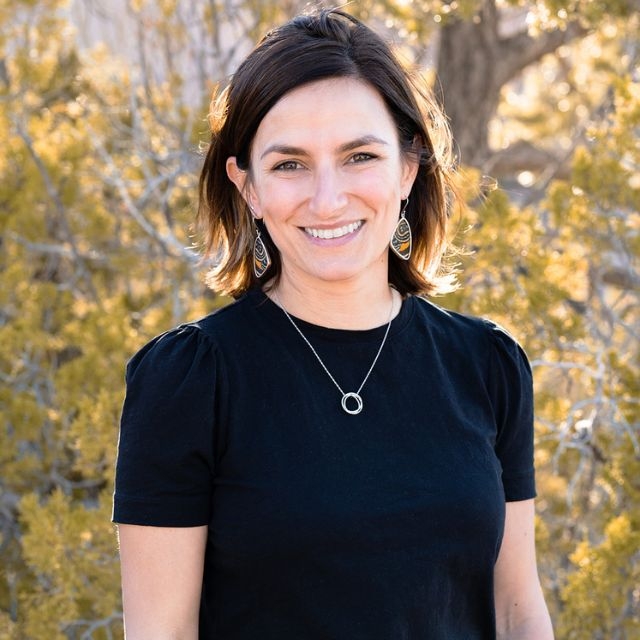
VP Go-to-Market at Satellogic
Dr. Caitlin Kontgis serves as the VP of Go-to-Market at Satellogic. She joined the company in 2022, bringing 20 years of experience with remote sensing data. Dr. Kontgis, a former NASA fellow, oversees the process from pre-sales technical requirements to customer delivery, working cross-functionally across the organization to deliver best-in-class customer service. Before joining Satellogic, Caitlin worked as a data scientist, applying machine learning algorithms to satellite data. Previously, she managed a project in partnership with Esri and Microsoft to generate the world’s first global 10-meter land use/land cover map. During graduate school, Dr. Kontgis spent time in Vietnam collaborating with scientists at Can Tho University to understand the impacts of climate and land use change on food production. Dr. Kontgis holds a Ph.D. in Geography from the University of Wisconsin, where she used satellite imagery to assess land cover and change detection. She lives in the Rocky Mountain foothills of Santa Fe, New Mexico, and enjoys hiking, skiing, and running.
Sep. 28, 11:40am • Panel • The Forum
Leaders in public and commercial imagery providers discuss new capabilities and distribution models and how they engage communities working directly on social and climate benefits.
Sep. 28, 04:30pm • Debate • The Forum
We imagine a world where daily decisions are improved by data derived from satellites. What does that last mile of insight delivery look like? A debate among alternate worldviews.
We're excited to partner with thought and industry leaders in the satellite and development communities, and through their sponsorship and support of SatSummit, we are solving real-world and global development challenges.
