Ecosystem Conservation and Restoration
Sep. 29, 10:00am • Session • The North Hub
Coordinator, Mapping at Amazon Conservation Team
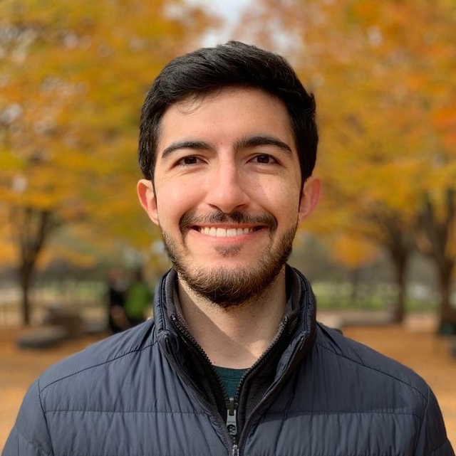
Pascual is a geographer with the Amazon Conservation Team (ACT), providing GIS and cartographic support to all of ACT's programs across the Americas. Pascual has participated in projects focusing on monitoring indigenous sacred sites in the Sierra Nevada de Santa Marta (Colombia), tracking turtle nesting sites in the Osa Peninsula (Costa Rica), and advancing indigenous, participatory mapping in Brazil and the Guianas. Pascual also supports the development of ACT's storytelling initiatives, having recently created a Story Map documenting 207 cases of community rights violations in six Latin American countries during the COVID-19 pandemic. Pascual's academic background includes a B.A. in Geography and an MPhil in Development Studies from the University of Cambridge.
Sep. 29, 10:00am • Session • The North Hub
We're excited to partner with thought and industry leaders in the satellite and development communities, and through their sponsorship and support of SatSummit, we are solving real-world and global development challenges.
