Speakers: Tyler Radford

Executive Director at Humanitarian Open Street Map Team

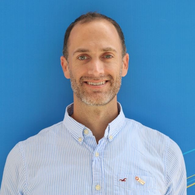
Picture of Tyler Radford

About

Tyler currently serves as HOT’s Executive Director. He joined HOT in April 2015 after 12 years leading diverse, people-focused, technology and data-enabled projects across the public, private, nonprofit, and international humanitarian sectors for organizations such as the American Red Cross, Save the Children, the United Nations Secretariat, and for Fortune 500 firms as a private sector consultant with Deloitte Consulting. In his role at HOT, Tyler oversees a team of 100 staff deployed globally and works to engage and coordinate the efforts of thousands of HOT disaster mapping volunteers for projects in Africa, Asia, and Latin America and the Caribbean.

Prior to joining HOT, Tyler led the American Red Cross Hurricane Sandy (New York) community disaster recovery strategy development and implementation and directed a team of community recovery specialists engaging affected residents and community organizations on the ground. Before joining the Red Cross, Tyler worked in a number of post-disaster and community development contexts in the U.S. and internationally. He taught in Metropolitan College of New York’s Emergency Management Program, and developed training curriculum in religious and cultural competency in disaster for the U.S. Federal Emergency Management Agency. Tyler holds a Master of International Affairs degree from Columbia University School of International and Public Affairs and a Bachelor of Science degree in Management/Computer Science from Boston College Wallace E. Carroll School of Management.

On the agenda

  1. Localizing AI

    Sep. 28, 04:30pm Panel South Hub

    AI holds great promise for automating insights from massive earth data streams. But AI models underperform and AI-derived data fails to represent many parts of the world.

    This panel will explore approaches to inject local knowledge in improve AI outcomes. We will explore Human in the Loop AI approaches and No-Code / Low-Code approaches that make model develeopment and refinement more accessible. From mapping schools in rural Asia and producing fast landcover maps in the United States, to preventing illegal logging in Liberia and making better maps in Monrovia -- the experts who have built AI methodologies, tools and programs will share their perspectives on the potential for these methods to improve quality, bridge gaps between ML engineering and domain expertise, and improve inclusivity.
Sponsors

Silver

  1. Amazon Web Services (AWS)

  2. Caribou Space

  3. Esri

  4. National Aeronautics and Space Administration (NASA)

  5. Picterra

  6. Planet

  7. Replicable AI for Microplanning (RAMP)

  8. SparkGeo

  9. United States Agency for International Development (USAID)

Bronze

  1. Azavea

  2. Capella Space

  3. D4DInsights

  4. Element84

  5. European Space Agency (ESA)

  6. Locana

  7. PLACE

  8. Radiant Earth Foundation

  9. TileDB

  10. Umbra

Hosts

  1. Cyient

  2. Development Seed

  3. DevGlobal

Become a sponsor

We're excited to partner with thought and industry leaders in the satellite and development communities, and through their sponsorship and support of SatSummit, we are solving real-world and global development challenges.